Google The Earth

  • See what others are reading now! Try Forums > Current Activity
  • Search function more powerful with google results! Try Search

SataniC

Old Is Gold
Senior Member
Joined
Dec 9, 2003
Messages
1,886
Points
5,148
Location
Subang
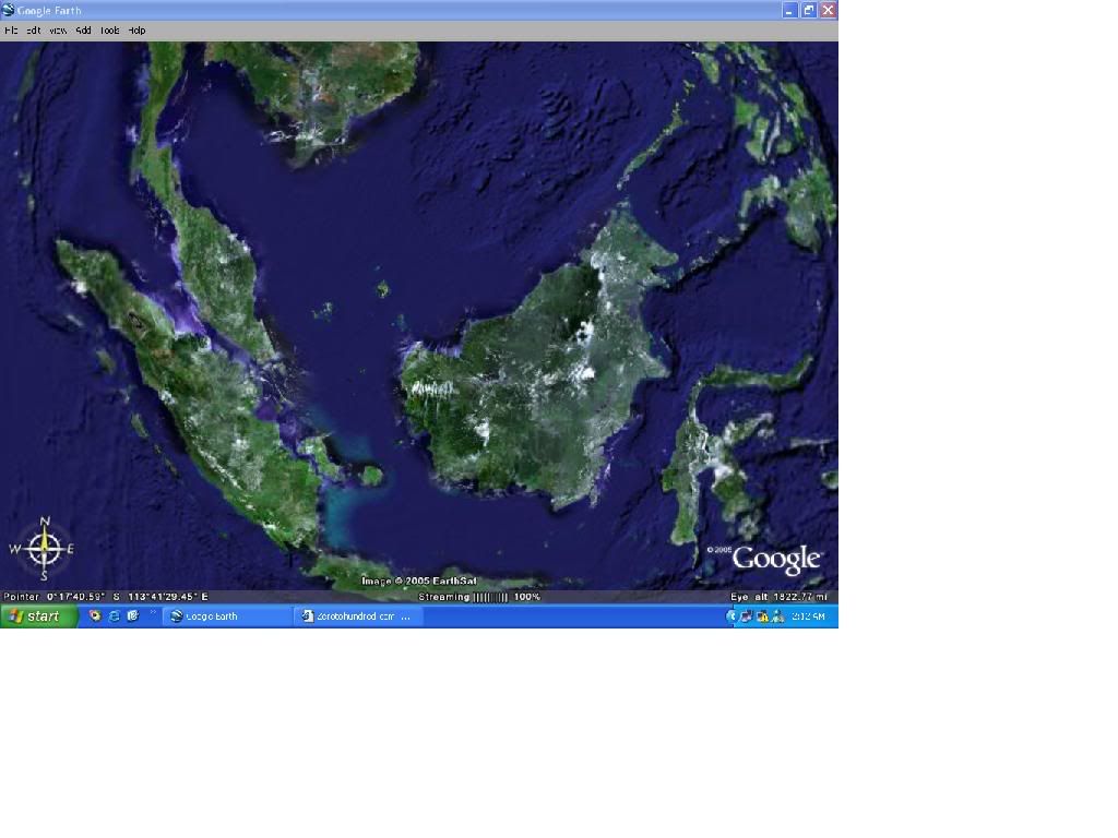
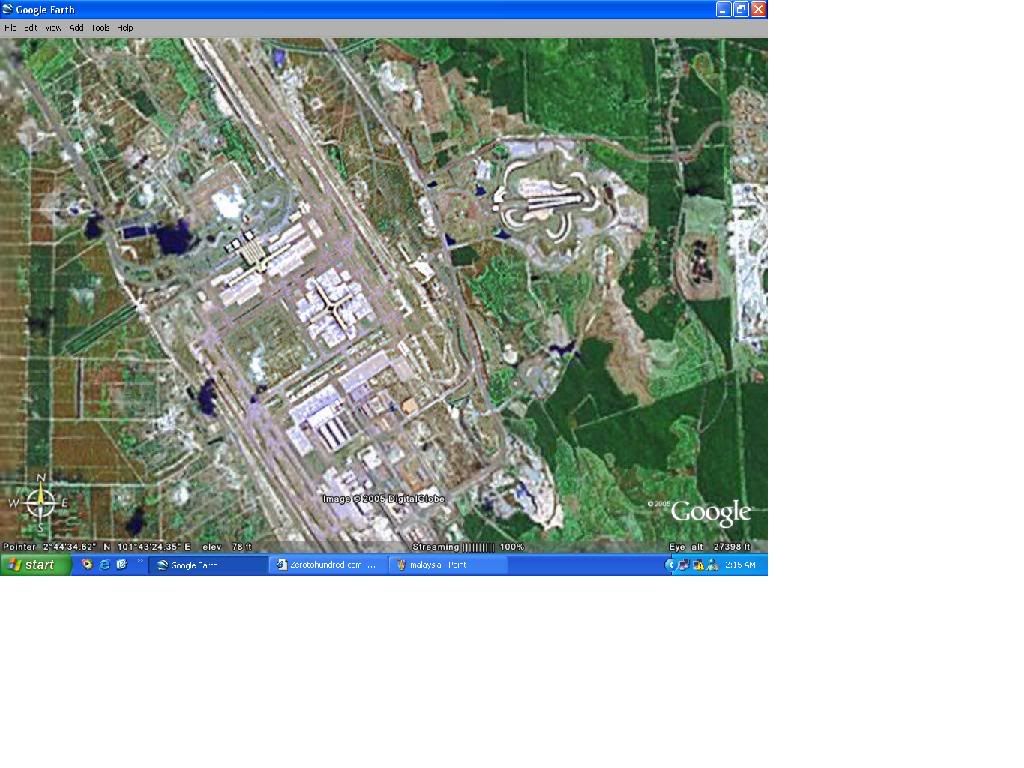
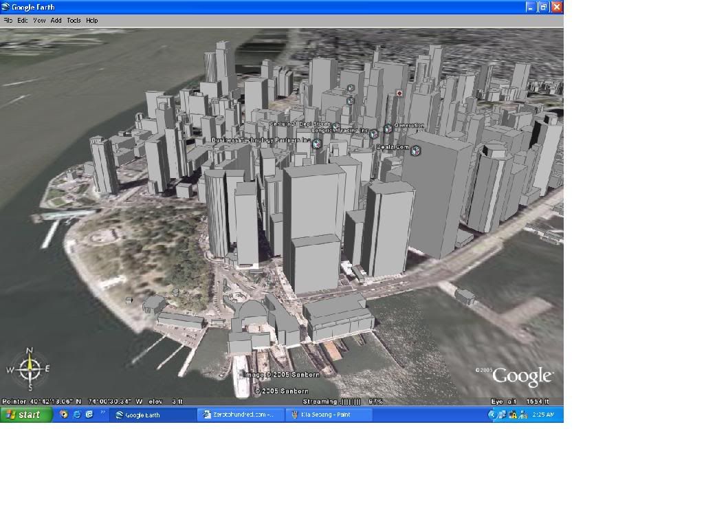
hey...found this website....i find the software very entertaining...its like having your own spy sattelite....you can zoom in till ground level....i wont say that its shows the real time of the area but it still pretty neat IMHO....zoom in Subang or see wats left of New Orleans with this thingy...but be warned it'll need a good PC with a good graphic cards though....try it out...ehhehe

http://earth.google.com/
 
Last edited:
here's a pics of Malaysia :P
malaysia.jpg


here's KLIA/Sepang (check out SIC on the upper right :P)
KliaSepang.jpg


sadly they didnt really put a lot of details on other country except the USA...mebe they were not allowed to take aerial photo perhaps....

here's downtown new york...check out those cool 3D building depicted on their exact location....ehehehhe
newyork.jpg
 
its not real time... its a database of maps/pictures that was taken sometime this year and it is updated periodically. you can also download the layers from google earth hacks (google it), u can see the 3d graphic images of buildings in more detail :)
 
psyk said:
its not real time... its a database of maps/pictures that was taken sometime this year and it is updated periodically. you can also download the layers from google earth hacks (google it), u can see the 3d graphic images of buildings in more detail :)

it is only usefull in the states

whereby u can actually zooom down to street level and find all kinds of information, eg before any vacation, check out the road names and etc etc
 

A thread every 60 seconds


Search

Online now

Enjoying Zerotohundred?

Log-in for an ad-less experience
Top Bottom